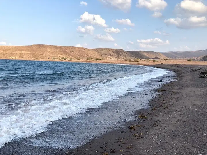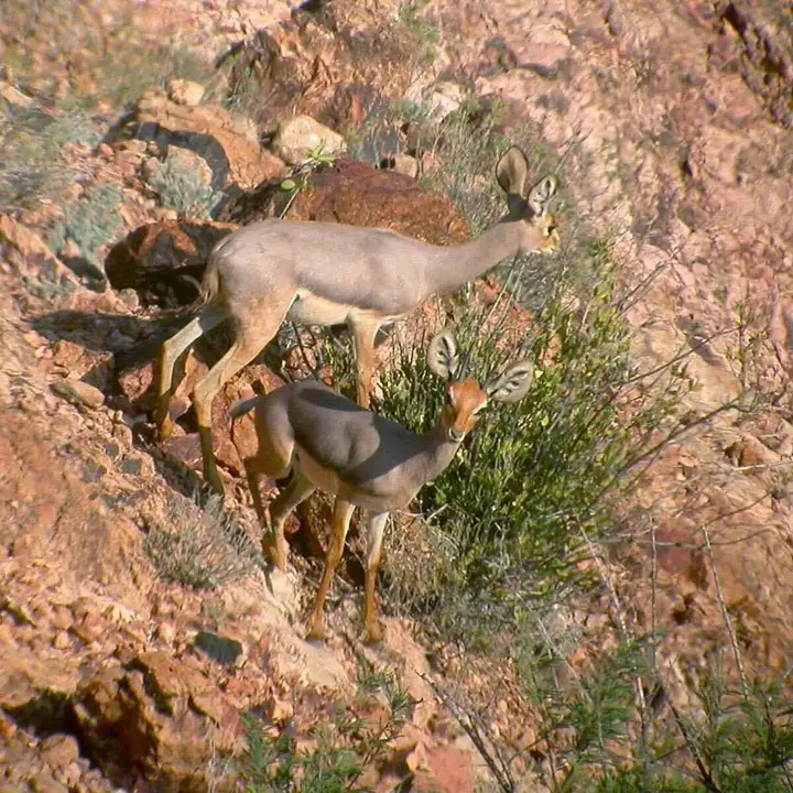
Dikhil: the south-west region, sites and itineraries
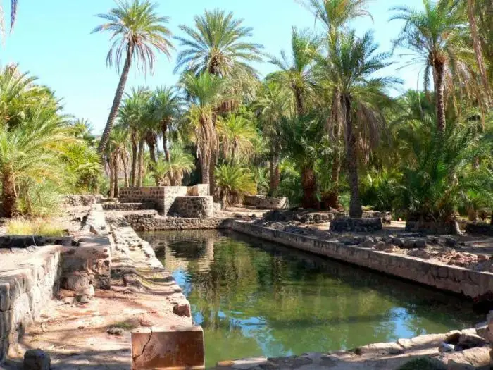
The Dikhil region occupies the south-west of Djibouti, along the Ethiopian border. Its capital is the town of Dikhil and it gathers three catalogued destinations: Lake Abbe and its limestone chimneys, the Grand Bara plain, and the archaeological site of Handoga. It is also the country's richest region in prehistoric remains, with Asa Koma, Asa Ragid and the tumuli of the Gobaad basin.
Where is the Dikhil region?
The Dikhil region occupies the south-west of Djibouti. It is bordered by the Tadjourah region to the north-east, the Arta region to the east and the Ali-Sabieh region to the east-south-east. To the west and south it runs up against the Ethiopian border, facing the Afar and Somali regions. Its capital, the town of Dikhil, lies in the west of the country, about ten kilometres from Ethiopia.
The region is the largest of the country’s six, and the most varied. It holds at once a historic town, a cross-border salt depression, a semi-desert plain and several major prehistoric sites. It is also the region where distance makes itself felt most: the sites do not follow one another, they have to be earned.
The town of Dikhil is crossed by the Chekkeyti wadi — also written Chekheyti —, which drains the Oukoula plateaux and flows north towards the Hanlé graben. It grew up as the seat of the Afar sultanate of Goba’ad: the sultan Hummad Lo’oyta signed there, on 11 March 1862, the first treaty of friendship binding it to France. In the Middle Ages, the region belonged to the sultanates of Ifat and Adal.
A frequent confusion: Balho
Balho is sometimes attached to the Dikhil region. That is a mistake. The village of Balho lies in the Tadjourah region, on national highway 11 which links Tadjourah to the Ethiopian border, about thirty kilometres west of Dorra. The likely origin of the confusion is a sentence on the Wikipedia page devoted to the Dikhil region, where a burial mound at Balho is mentioned — but in a paragraph dealing with the cairns found throughout the country, not with a site of Dikhil. See the Balho page if that village is what you are looking for.
What is there to see in the Dikhil region?
| Destination | What you find there | Access | Page |
|---|---|---|---|
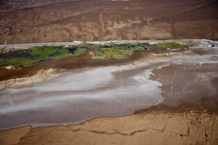
| Lake Abbe | Cross-border salt lake, limestone chimneys, bivouac | Track, 4×4 essential | Lake Abbe page |
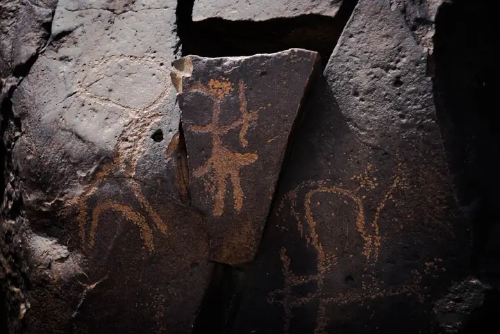
| Grand Bara | Semi-desert plain, rock engravings, land sailing | Road then track | Grand Bara page |
| Handoga | Settlement of circular stone houses, near the Chekkeyti wadi | Track, with a guide | Dalmar catalogue |
| Town of Dikhil | Historic capital, Chekkeyti wadi, starting point | National highway 1 | — |
Lake Abbe concentrates most of the catalogue’s offer for the region: it alone justifies a two-day trip, and the page devoted to it details its geology, its bivouac and its season.
The Grand Bara is catalogued both in the Dikhil region and in that of Ali-Sabieh: the plain stretches across both sides of their administrative boundary, and the Dalmar catalogue carries two records of it, one per region. In practice, it is reached from either side.
Handoga is the third catalogued site. It lies near the Chekkeyti wadi, south-west of Dikhil: a settlement of about a hundred circular houses in dressed stone, dated to 4000 to 3000 BCE. The excavations carried out from 1986 pushed the occupation of the area back to the third or fourth millennium BCE.
What do the archaeological sites of Dikhil tell us?
This is probably what most clearly sets the region apart from the seaside circuits of the north: it gathers several of the country’s documented prehistoric sites, the main ones being the following.
| Site | What has been found there | Published dating |
|---|---|---|
| Handoga | About a hundred circular houses in dressed stone | 4000 to 3000 BCE |
| Asa Koma | Burial, decorated pottery, beads, obsidian and bone tools | End of the third millennium |
| Asa Ragid | Oyster shells, circular stone structures, microlithic industry | Up to 5000-5800 BCE |
| Anabo Koma | Pleistocene fauna fossils | Pleistocene |
| Chekeyti-3 | Hippopotamus bones, lithic industry | Lower Palaeolithic |
Asa Koma, the “red hill”, lies near Eyla. The site yielded a population of fishers who hunted jackal, kept livestock and produced decorated pottery, in shapes and colours comparable to ceramics found in Sudan. In 1989, the burial of an elderly adult and a young woman was uncovered there. The grave goods combine obsidian and bone tools, ostrich-eggshell beads and Red Sea shells.
Asa Ragid is older still: oyster shells, basalt-rhyolite picks, circular stone structures and a microlithic industry in red jasper and obsidian.
To these are added the tumuli, known locally as awellos. These ancient funerary complexes, made of black volcanic rocks, are concentrated above all near Randa in the Tadjourah region, near Daasbiyo in that of Ali-Sabieh, and in the Gobaad basin, towards Lake Abbe. They appear on the national tentative list of properties proposed for Unesco World Heritage status, and are threatened by looting.
These sites are visited with a guide: the remains read poorly without someone who knows them, and nothing is touched there. See also the Ali-Sabieh region for the remains of the other slope.
How do you get to the Dikhil region?
| Means | What the ANT publishes | Note |
|---|---|---|
| Bus | 700 Fdj a seat | Daily service with Djibouti City |
| Car | National highway 1 towards Galafi | Tarmac axis serving the town |
| Plane | Small airport at Dikhil | The town is linked daily to the capital by bus |
| 4×4 | Track towards Lake Abbe | Suitable driver and vehicle essential |
National highway 1 is the structuring axis: it links Djibouti City to Galafi, on the Ethiopian border, and serves Dikhil on the way. It is off this road that the accesses to the Grand Bara are grafted, then the track that descends towards Lake Abbe.
Beyond the tarmac, the region changes in nature. The track to Lake Abbe is the critical point of any itinerary in Dikhil: sand, wadi crossings and the absence of landmarks. It is travelled with a 4×4 and a driver who knows the area — see 4×4 hire with a driver.
When to go to the Dikhil region?
| Period | What it implies on the ground |
|---|---|
| November – February | The reference window for Lake Abbe and outdoor sites |
| March – April | An acceptable transition, days already hot |
| May – September | To be avoided: punishing track and uncomfortable bivouac |
| October – November | A gradual return, a good window |
The Gobaad depression holds the heat, and the track there soon becomes punishing in summer. In the cool season, the nights at the bivouac become bearable, and the morning light picks out the limestone chimneys and the relief of the plain distinctly. The country’s general calendar is detailed on the page when to go to Djibouti.
What should you know before setting off?
- Allow generously for fuel and water. The stages are long, and resupply points are rare on the track leading to Lake Abbe.
- Take cash. Banks and exchange offices are mostly in the capital; count in Djiboutian francs.
- Set off with a guide for the archaeological sites. Handoga and the sites of the sector do not read without explanation, and no signage is documented there.
- Take nothing away. Sherds, beads, bones and tumulus stones belong to the national heritage; awellos are already threatened by looting.
- Plan around the season. In summer, an unprepared itinerary towards Lake Abbe comes to nothing.
- Check your visa formalities if you continue your itinerary towards Ethiopia: the border is close and the rules change from one post to another.
The region combines naturally with a day in Djibouti City before departure, and with the Ali-Sabieh region on the way back.
Frequently asked questions
What is there to see in the Dikhil region?
Three destinations are catalogued. Lake Abbe, its limestone chimneys and its bivouac, on the Ethiopian border. The Grand Bara plain, shared with the Ali-Sabieh region, and its rock-engraving site. The archaeological site of Handoga, near the Chekkeyti wadi, occupied from the fourth to the third millennium BCE. The town of Dikhil, former seat of the Afar sultanate of Goba'ad, serves as the starting point.
How do you get to Dikhil from Djibouti City?
By national highway 1, which links the capital to Galafi, on the Ethiopian border, and crosses the town of Dikhil. Buses run the service from Djibouti City daily; the National Tourism Agency publishes a bus fare of 700 Djiboutian francs for this destination. The town also has a small airport. Beyond that, towards Lake Abbe, the track demands a 4×4 and an experienced driver.
Which archaeological sites can you see in the region?
The region is the densest in the country for remains. Handoga, near Dikhil, lines up about a hundred circular houses in dressed stone dated to 4000 to 3000 BCE. Asa Koma, near Eyla, yielded a burial and artefacts from the third millennium. Asa Ragid produced oyster shells, circular stone structures and a microlithic industry. The Gobaad basin also holds tumuli, or awellos.
Do you need a 4×4 to travel through the Dikhil region?
It depends on the goal. The town of Dikhil and the national highway 1 axis are tarmac and can be driven in an ordinary car, with daily buses from the capital. Lake Abbe, on the other hand, requires a 4×4 and a driver who knows the track: sand, wadi crossings and the absence of landmarks rule out improvisation. Most of the isolated archaeological sites call for the same preparation.
What is the best time to visit the Dikhil region?
From November to February. The region is inland, and the floor of the Gobaad depression is among the hottest sectors in the country: in summer, the track to Lake Abbe becomes punishing and the bivouac uncomfortable. The cool season makes the nights bearable, and the low morning light picks out the limestone chimneys as well as the relief of the Grand Bara plain.
Sources
- Djibouti National Tourism Agency — useful information (regional buses, fares)
- Wikipedia — Dikhil region (boundaries, history, archaeological sites)
- Wikipedia — Dikhil (town) (hydrography, access, history)
- World Bank — Galafi-Nagad power corridor impact study (archaeological sites, awellos)
- Djibouti National Tourism Agency — heritage and national tentative list
- Wikipedia — Lake Abbe
Destinations
Read next
Abourma: the rock engravings of the Makarrassou massif
Ali-Sabieh: the south-east region, sites and camps
Allols depression: salt, hot springs and caravans
Ardoukoba: the most recent volcano in Djibouti
Arta: the cool of the interior and whale sharks
Assamo: the protected area of the beira antelope
Balho: rock art and the northern border post
Bankoualé: the oasis at the foot of the Goda massif